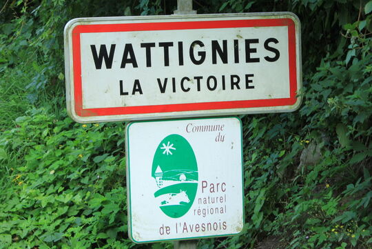
Wattignies-la-Victoire is located next to the cities of Maubeuge and Avesnes-sur-Helpe in the district of Nord (59) in France.
The village of Wattignies-la-Victoire (263 inhabitants) shouldn't be mixed up with the city of Wattignies (13000 inhabitants) next to Lille.
GPS coordinates of the city hall are
50° 12' 1.3" N, 4° 00' 38" E.
Coming by car
- From Maubeuge (in the North)
via the highway n°2 (N2) toward Paris, turn left to Beaufort, cross the village toward the direction of Wattignies-la-Victoire (via the D155).
- From Avesnes-sur-Helpe (in the South)
via the highway n°2 (N2) toward Maubeuge, turn right at the restaurant "les 3 Pavés" toward Beugnies/Solre-le-Château (via the D962). While you arrive at Beugnies' steering point take the direction of Dimont (via the D33), cross the village then take Wattignies-la-Victoire's direction (via eponymous road).
- From the Val Joly leasure park (in the South East)
take the direction of Solre-le-Château, then go in direction of Dimechaux (via the D27) to finally go in the direction of Wattignies-la-Victoire (via the D155)
- From Belgium
From the North via Maubeuge (see way from Maubeuge)
From East via Solre-le-Château (see way from the Val Joly leisure park)
Coming by bus
Bus line 436 from local bus network "Arc-en-Ciel" is going through the village. Stop at bus stop "Eglise".
For more information on time schedule and route click here.
Coming by the "Voie Verte de l'Avesnois" (EuroVelo 3)(by walking \ by bike \ by horse)
Take the "rue du Stordoir" while arriving to the former railroad crossing.
For more information click here.

